File:Stne.png
From STNE Wiki
Size of this preview: 646 × 599 pixels
Full resolution (1,200 × 1,113 pixels, file size: 1.77 MB, MIME type: image/png)
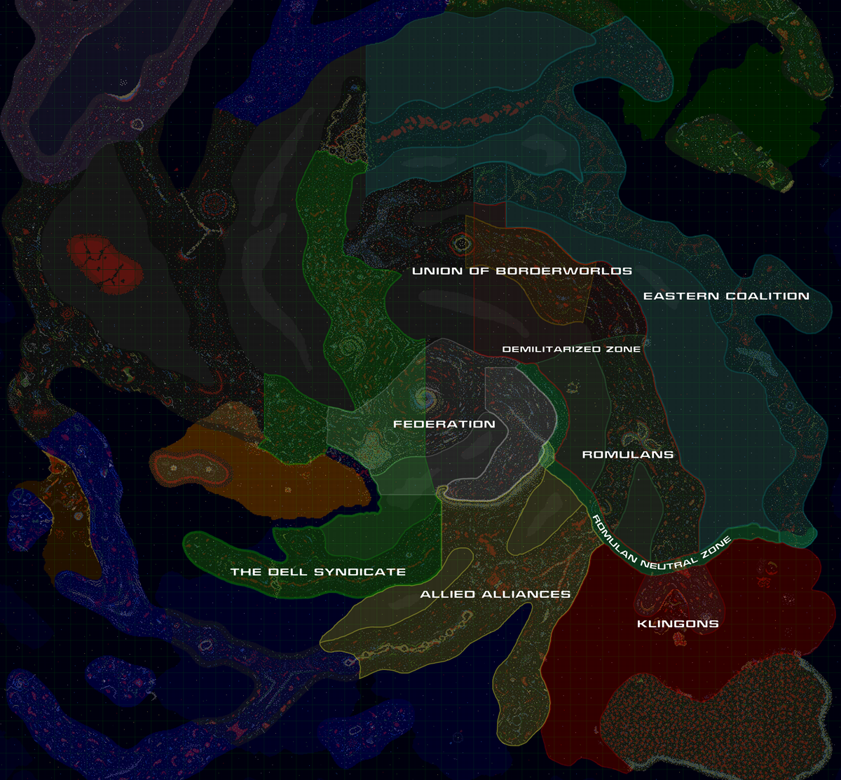
Political map as off 2020
File history
Click on a date/time to view the file as it appeared at that time.
| Date/Time | Thumbnail | Dimensions | User | Comment | |
|---|---|---|---|---|---|
| current | 18:08, 25 August 2022 | | 1,200×1,113 (1.77 MB) | GaRFIELD (Talk | contribs) | (Political map as off 2020) |
- Edit this file using an external application (See the setup instructions for more information)
File links
The following file is a duplicate of this file (more details):
The following 4 pages link to this file: